Indo-Norwegian project
The earthquakes triggered by water level fluctuations of the Koyna and Warna reservoirs 200 km south of Mumbai are the world’s best known example of reservoir triggered seismicity (RTS).
The Ministry of Earth Sciences (MoES), Government of India, has initiated a project ‘Deep scientific drilling at Koyna (DEEPAK)’ to set up a fault zone observatory at depth. As a part of this project, NORSAR will collaborate with CSIR-NGRI on improving the accuracy of earthquake locations and fine-tuning the location of the main borehole.
The NFR-funded project «Delineation of the target fault-zone for Koyna scientific deep drilling by accurate location of microearthquakes» is a cooperation between CSIR-NGRI (CSIR-National Geophysical Research Institute) in Hyderabad and NORSAR in Norway. The project deals with the seismicity triggered by the water level fluctuations of the Koyna and Warna reservoirs. The seismicity started shortly after the impoundment of the Shivaji Sagar lake by the Koyna dam in the state of Maharashtra in 1962. On the 10th of December 1967, an earthquake with a magnitude of 6.3 hit the region. Since then, 22 events with magnitudes larger than 5, more than 200 events with magnitudes larger than 4 as well as several thousand smaller earthquakes occurred in the region. This earthquake activity correlates strongly with the annual filling and emptying of the Koyna and nearby Warna reservoirs.
It has long been known that a change of pore pressure can cause earthquakes. Such induced earthquakes have been observed as a result of the impoundment of reservoirs, oil production, or the injection of fluids into underground formations (e.g. shale gas fracking, hydrothermal power generation, CO2 sequestration). An increase in pore pressure lowers the effective stress, such that the Coulomb failure envelope may be reached. Large engineering operations such as reservoir impoundment, mining, and large-scale quarries can also alter the stress field directly and hence cause failure in critically stressed regions.
Under the preliminary phase of the deep scientific drilling project ‘DEEPAK’, nine exploratory boreholes have been drilled to a depth up to 1.5 km by CSIR-NGRI and six of these boreholes are equipped with seismometers. Additionally, a pilot borehole has been drilled to a depth of about 3 km by MoES. The aim is to locate earthquakes as precisely as possible with the help of this borehole network, assisted by a network of 23 surface broad-band stations, such that a location for the main borehole can be found that allows researchers to drill directly through a patch experiencing these earthquakes. One of the main objectives is to focus on automatic methods to locate microseismicity on continuous data streams from the borehole seismometers and to obtain a 3D velocity model of the region. Further, we foresee that the colloborative work will enhance the understanding of the mechanism triggering the earthquakes. Honouring the Norwegian project team during their visit to CSIR-NGRI for the project kick-off meeting end of March 2019 by dressing them with ceremonial scarves featuring a traditional pattern (Pochampally)from the Hyderabad area
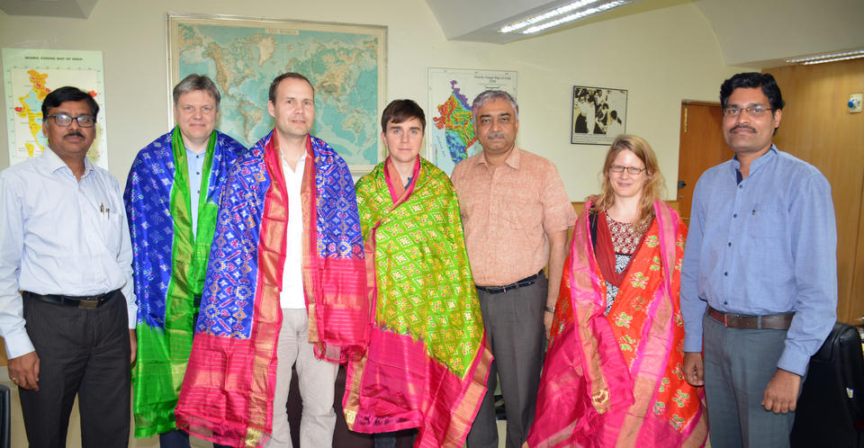
Honouring the Norwegian project team during their visit to CSIR-NGRI for the project kick-off meeting end of March 2019 by dressing them with ceremonial scarves featuring a traditional pattern (Pochampally)from the Hyderabad area.